Technology Partners
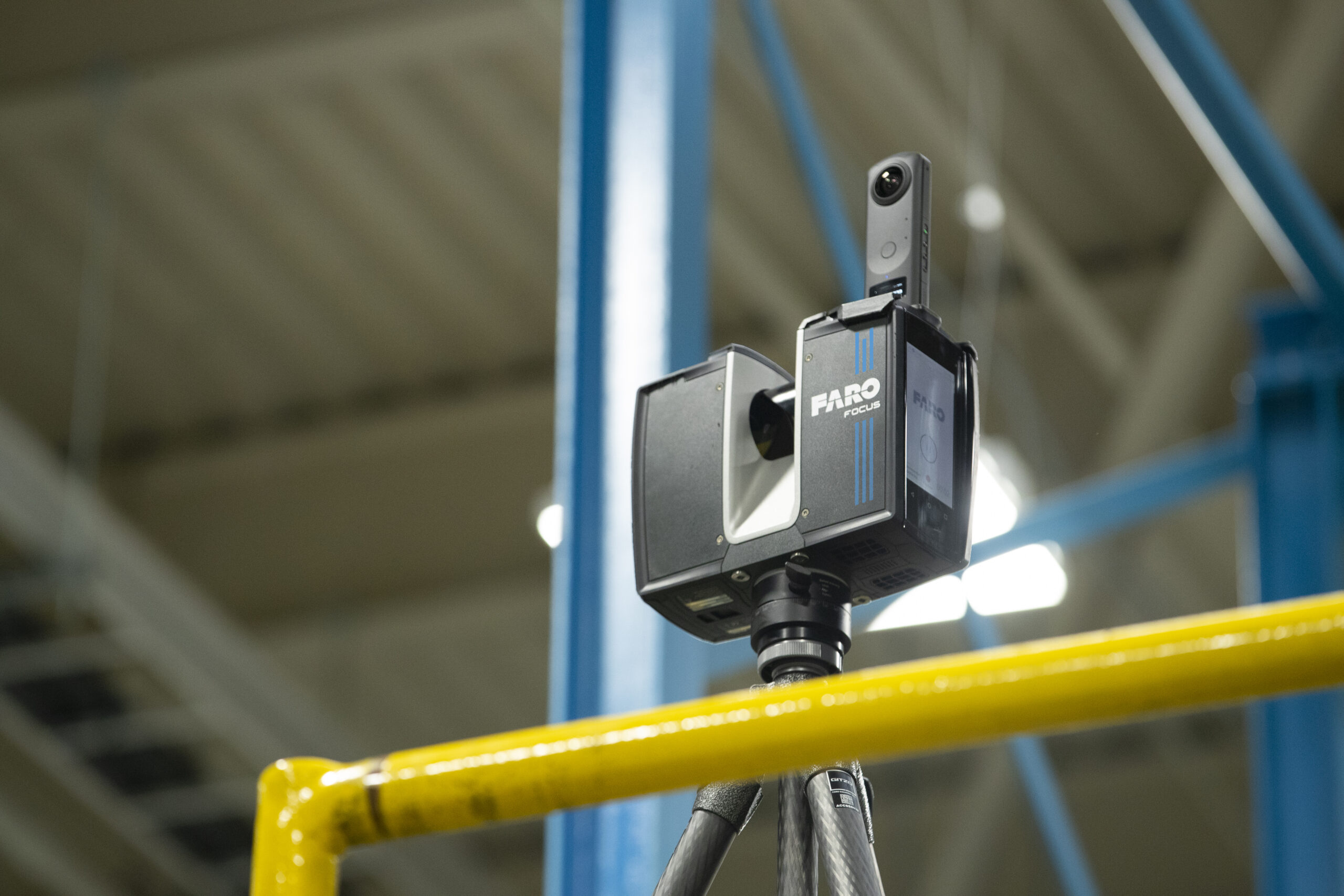
FARO® Focus
FARO Focus solutions provide exceptional capturing efficiency, data quality, and accuracy for professional applications across the construction, geospatial, public safety, operations & maintenance, and manufacturing markets while offering data quality at faster scan speeds (up to 1 minute per scan), reducing on-site scanning time by up to 50%. Meanwhile, faster loading and system response yields greater data management efficiency when paired with FARO apps and software.
FARO® Orbis
FARO® Orbis™ is a unique mobile scanning solution created to optimize workflows and elevate productivity. Designed for construction, engineering and surveying and public safety professionals, Orbis delivers rapid speed of capture, while returning highly accurate 3D visual representations of the real world. Integrating FARO’s Flash Technology™ in Orbis allows for stationary scans in just 15 seconds and provides unrivaled detail from a mobile mapping solution. Powered by GeoSLAM’s proprietary SLAM algorithm, it’s the evolutionary step for industry professionals looking to provide highly accurate deliverables faster, reduce human error and magnify overall efficiency. Embrace the power of hybrid mobile scanning with stationary Flash scanning capabilities - elevated by cloud-connectivity with FARO Sphere® XG and embark on a new journey to transform your projects with Orbis – the ultimate companion for modern scanning challenges.
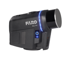
FARO® Blink
From Site to Insights in a BLINK!
- Blink provides professionals with a user-friendly and straightforward reality capture experience from conception to project completion.
- Blink helps you to create professional results: stunning visuals of your jobsite backed by precise point cloud accuracy.
- Experience intuitive workflows from guided scanning to collaborative sharing with automated point cloud registration, data filtering, and orthophotos creation.
- Blink gives stakeholders dependable data for effective decision-making through a cloud-based digital jobsite.
AVEVA
A leader in Industrial Software AVEVA’s cloud-enabled 3D Data Management system assists customers in becoming more efficient and profitable across brownfield, greenfield, and maintenance projects. Share and visualize data globally to maximize your project production and supply chain performance. Store data on the AVEVA Cloud, a secure and reliable source, delivering all the benefits of industrial software without the overhead costs of installation, deployment, version control, and hardware maintenance.
Bloom Technologies
A dynamic point cloud editor and collaboration tool, Bloom is the ideal solution for digital asset management and digital twin creation. Bloom combines point clouds and 3D design data for deviation analysis, clash detection, and change management in Design, Fabrication, and Construction applications. Accessible through on-premise VPNs, Microsoft Azure cloud storage, or hosted on the AWS server. Bloom is the easy way to design, validate and share scan data with the entire project team.
DotProduct
DotProduct develops high-performance, easy-to-use solutions for capturing 3D data. The Dot3D products, with cross-platform and cross-sensor compatibility, provide high-quality spatial data instantly, making them ideal for mobile professional The DotProduct systems are complete handheld 3D scanning kits for indoor and outdoor, working with Windows, Android and iOS. The sensors provide longer and shorter range capability. Each kit requires a Dot3D Prime (formerly Dot3D Pro) license (sold separately). Dot3D Pro (formerly "Pro for iOS") is the professional 3D laser scanning application for iOS devices equipped with built-in LiDAR.


