GeoSLAM Draw – Start Desktop

Create projects directly from GeoSLAM Connect, elevate your point clouds in a few clicks, and share them easily with colleagues and clients for detailed collaborations.

Draw Start is the standard package for GeoSLAM Draw. It is best suited for architects and planners who wish to create quick and easy floorplans, conduct area surveys, or visualize images captured within scans.

For more advanced plans contact point3D.

Draw Plan is the package best suited for those wishing to share data between colleagues, create reports or visualize a variety of shaped objects.

Draw BIM is best suited for those wishing to create CAD models, georeferenced scan data or use terrestrial data to enhance projects.

Draw Mining is best suited for those wishing to collect volume data or visualize aspects of point clouds in 3D.

Draw PRO package is best suited for those wishing to have full flexibility of point clouds.


SKU: SOFTD27030 Category: Tags: , ,

Description

Draw Start features include:

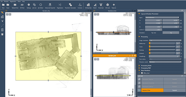
Layout Section – visualize and create segments of multiple floors and floorplans
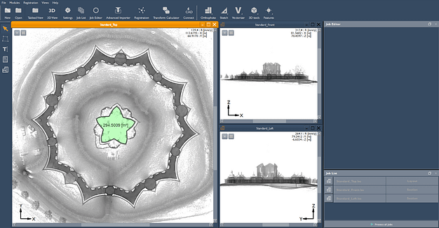
Sketch – measure areas, distances, and angles
Annotation – add text annotations to sections of projects
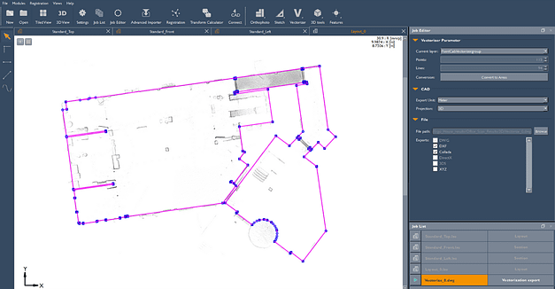
Vectorizer – automatically vectorize, intersect, and merge lines, create curves, and export into .dwg format
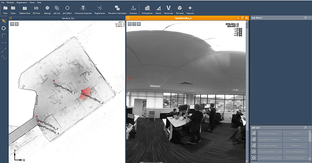
Panorama – view images captured with the ZEB Pano
Cloud Export – export projects into a range of file formats

*A perpetual license that requires a yearly maintenance agreement

Upgrade available to Draw Plan, Draw BIM, or Draw Pro

Reviews

There are no reviews yet.

Be the first to review “GeoSLAM Draw – Start Desktop”

Your email address will not be published. Required fields are marked *

This site uses Akismet to reduce spam. Learn how your comment data is processed.